Documentation

Results of the crowdsourcing pilot

After the Georeferencing pilot is finished, there are several outputs.

Spreadsheet with geo metadata exports

Spreadsheet table with the produced metadata (including MARC 034 field, bounding boxes, geo envelope, etc). This table is in the Microsoft Excel format (XLS) and it helps to use the data for enrichment of cataloging library system or for backups.

Download GeoTIFF & use map services

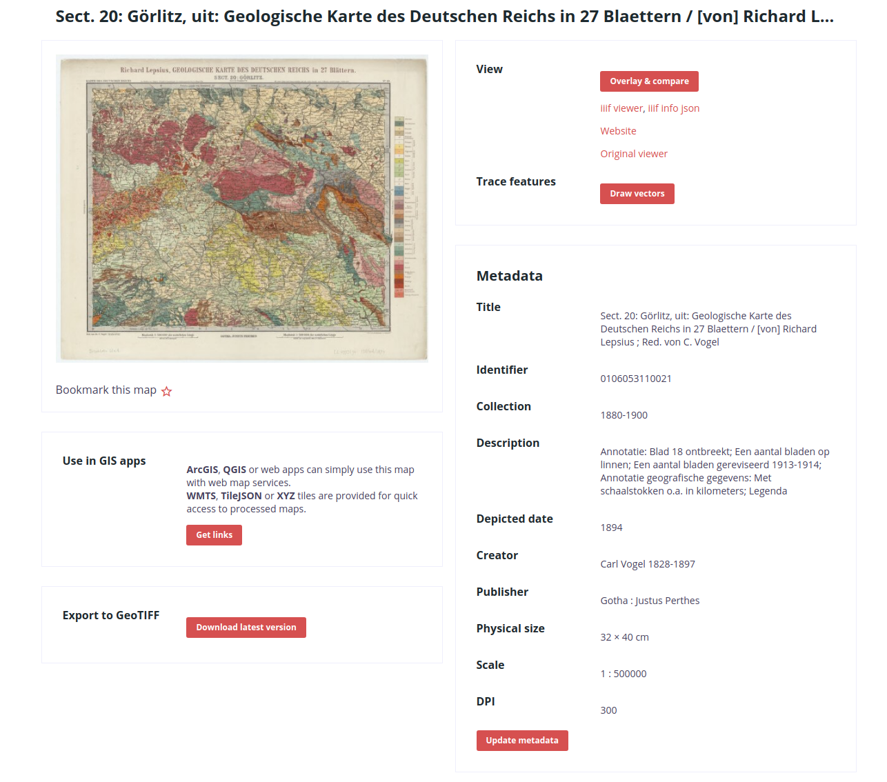
Access to raw produced data is via the "This map" page. It gives you the possibility to generate GeoTIFF from your scanned map with georeferencing information from the Georeferencer service.
The "This map" page also provides links to Map Services (OGC WMTS standard) to all logged-in users. These can be opened in desktop software or online GIS tools - such as the ArcGIS or QGIS.
On-request (if our working time is covered) we can also provide exports in additional data formats. Please contact us via [email protected].